 |
|
2006 Record November Rainfall
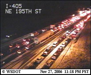
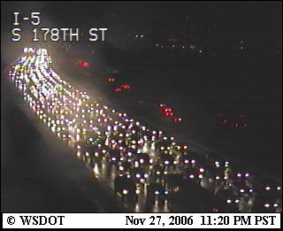
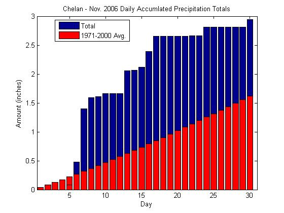
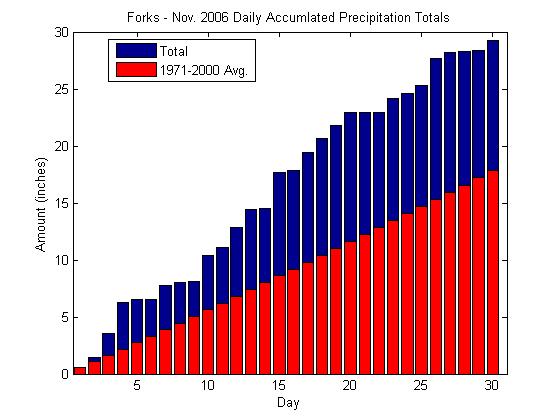
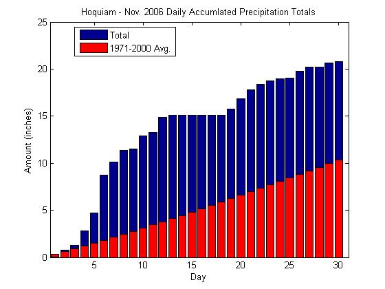
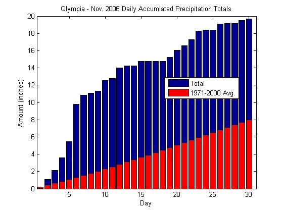
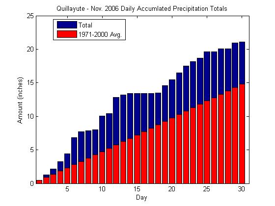
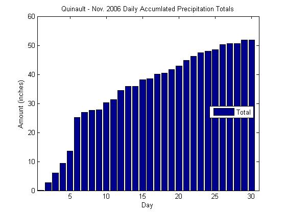
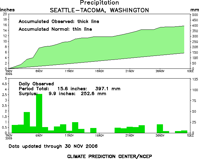
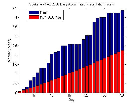
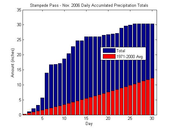
11/22/2006  500mb geopotential height anomalies the last 30-days showing the anomalous trough over the Gulf of Alaska that has been producing the rainy weather. After one of the driest summers in state history, record setting rainfall fell throughout western Washington. Early in the month, a slow moving "pineapple express" storm brought heavy rains and mild temperatures causing record setting high river flows, peak river crests, and widespread flooding. One of the places affected by the floods, Mount Rainier National Park, is working to re-open the park as the flooding washed out campgrounds, main roads, and the main power source to two of the park's visitor centers, while creating new channels and shorelines. Between November 6 and 7, the park received 18 inches of rain in 36 hours. For further information and amazing photographs of the damage visit the Mt. Rainier Images of the Flood of 2006 website. After surveying the flood damage, the governor declared 11 Washington counties as federal disaster areas, to assist families who have been displaced by the floods and to rebuild the communities that have extensive damage. Despite the rainfall that continued in the days following the flooding, cooler temperatures helped to alleviate the flooding as the rain fell as snow in the mountains with the lower snow levels. After only 6-days of breaking the November record of 11.62", Seattle (as reported from Sea-Tac Airport) broke the record for being the wettest month ever with over 12.92" during the early evening of November 21. Similarly, 1-day prior, Olympia had also broken their record for the wettest November with 16.57". To put things in perspective, Seattle and Olympia have had almost as much rain in the month of November as some of the wettest places on the coast average for November. Forks, annually the wettest place in Washington gets an average of 17.72" in November and currently has 28.24 " which is above normal for them, but not likely to break any records by the end of the month. The wettest place in the U.S., Mt. Waialeale, HI, on average receives 36.33" in November. See the table below for November 2006 rain totals and records for various locations in the state. By the end of the month, snow fell throughout the Puget Sound region and Seattle recorded a seasonal high of 18.61" for Autumn (Sept. - Nov.) breaking the old high of 17.08" set in 1955. No monthly rain records were set in Eastern Washington, but much of the state received above normal precipitation for the month. Floods and record rain are not the only things mother nature brought to Western Washington for the month of November:
|


 |